


Ordnance Survey – Books
Explore their extensive selection of books, which includes a variety of instructive guidebooks, practical how-to books, inspiring true stories, and magnificent atlases, amongst other things. There is something enjoyable and energizing for everyone, regardless of whether you want to explore indoors or outdoors, get some new knowledge, or simply just sit down and get lost in some mindful coloring. There is something for everyone.
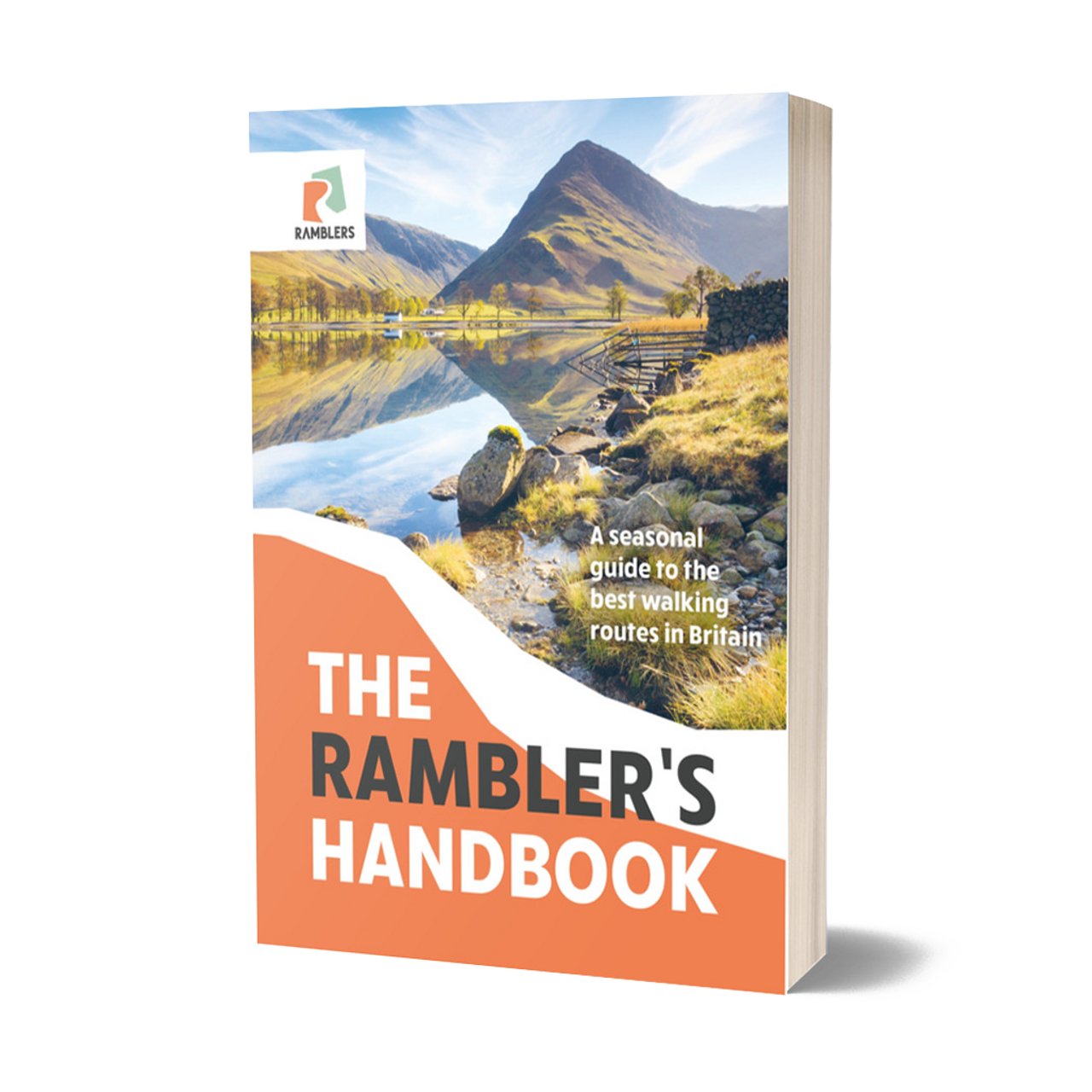
The Rambler’s Handbook
Explore the most enjoyable walks that Britain has to offer at any time of the year.
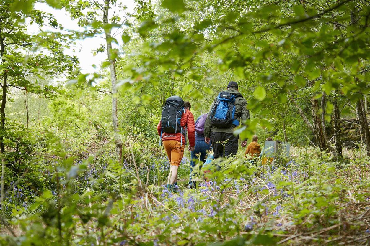
The United Kingdom is teeming with breathtaking hikes, and this indispensable guide details The Rambler’s 40 top recommendations for walks all around the country. Each walk is categorized according to the time of year, and it comes with specific instructions for the route, as well as a map and informational notes about the sights and species that should be observed.
Stroll through woodlands in the West Country that are covered with bluebells in the spring, and discover the limestone slopes of North Yorkshire that are covered in wildflowers in the early summer. Enjoy the blazing colors of autumn in the Wye Valley woodland, or take a stroll through Richmond Park in the wintertime to observe the fallow deer that live there.
They have included a wonderful selection of different walks all around the United Kingdom. The walks range from easy forest strolls to strenuous hill climbs; from pleasant woodland wanderings to breath-taking cliff-path excursions. There are routes that are suitable for walkers of all levels of fitness and experience.
Therefore, get your hiking gear ready, pack your luggage, and come with us on a stroll around their breathtaking terrain.
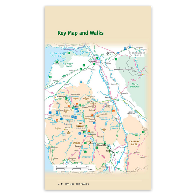
Lake District & Cumbria: Accessible Walks for All – Pathfinder guidebook 86
This one-of-a-kind guide is totally devoted to accessible walks, and it features the Solway coast, Carlisle, Hadrian’s Wall, and the Lake District, from Bassenthwaite Lake to Windermere and Ennerdale to Lowther Park. It also covers 38 different routes across the county of Cumbria.
The walks were designed to assist wheelchair users in getting outside throughout the Lake District and Cumbria. In addition to being appropriate for pushchairs and all-terrain buggies, the walks are ideal for families with younger children and anyone looking for a relatively easy walk in beautiful settings that can be enjoyed at one’s own speed.
The book begins with a pleasant circuit of Talkin Tarn and ends with an exciting “expedition” in Ennerdale. In between, the reader is treated to delightful lakeside strolls alongside – among others – Derwent Water, Grasmere, and Windermere; old railway trackbed rambles through Smardale and from Keswick to Threlkeld; coastal promenades at Silloth and Allonby; woodland wanders at Grizedale and Miltonrigg;
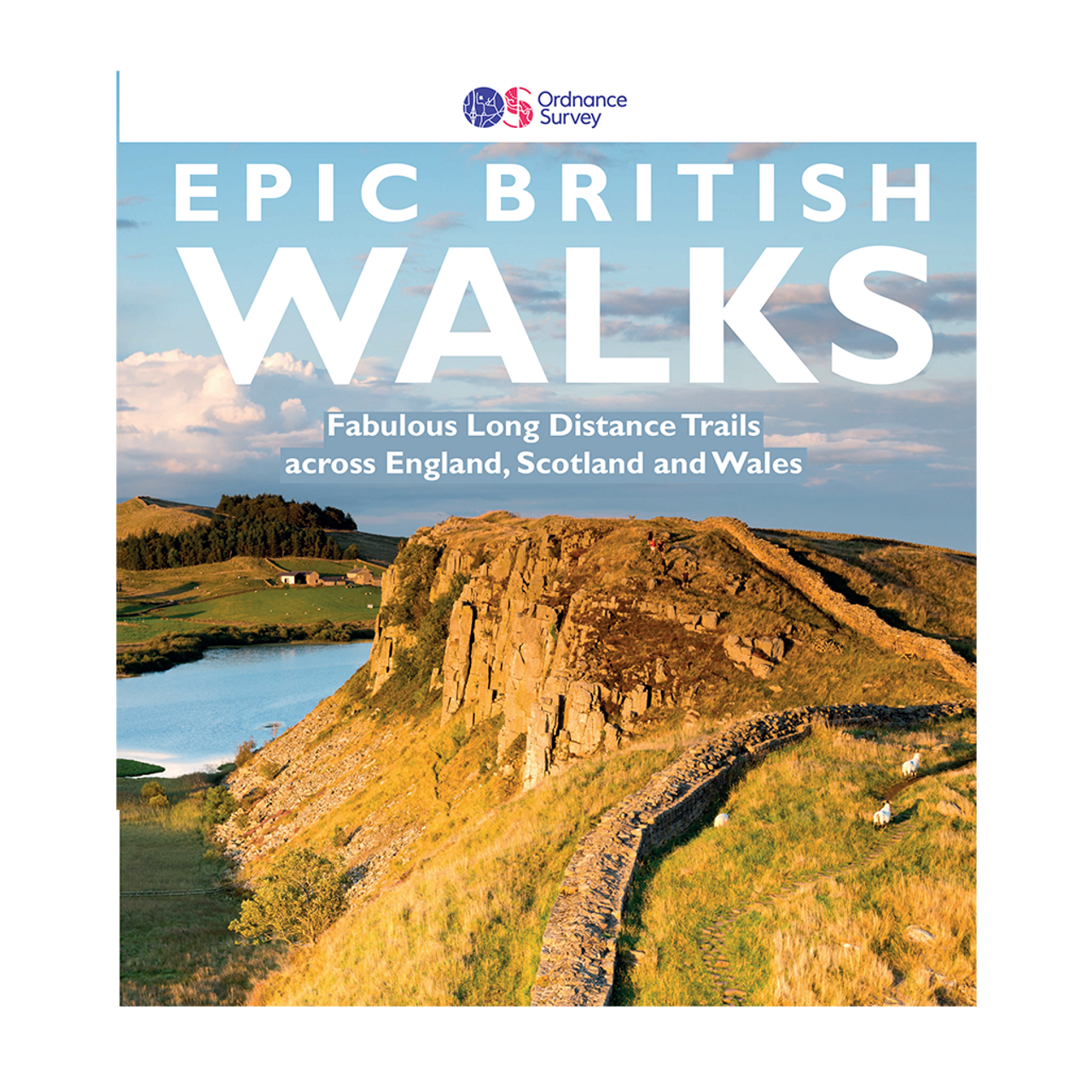
Epic British Walks
The book OS Epic British Walks is an inspirational introduction to distance walking. It features thirty-eight fantastic trails of tremendous diversity, each of which is classified by difficulty. There are routes for hikers who have never been on a trail before as well as routes for hikers who are extremely athletic and have participated in multi-day rambling before.
Immerse yourself in the 5,000 miles of trails that span the length and breadth of Britain, taking you through National Parks, Areas of Outstanding Natural Beauty, National Scenic Areas, along Heritage Coastline, and to UNESCO World Heritage Sites.
Discover detailed introductions to each route, suggested itineraries, the must-see features to take in along the way, and, of course, the list of Ordnance Survey sheet maps for completing the walks in this book, which is ideal for organizing a walking excursion, hiking holiday, or weekend ramble.
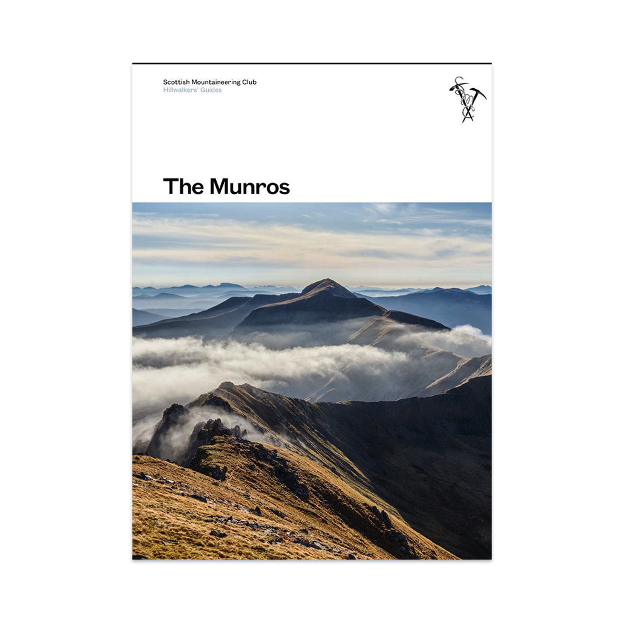
The Munros: Scottish Mountaineering Club Hillwalkers Guide
The original and most popular edition of the guidebook The Munros was written by the Scottish Mountaineering Club. This fully redesigned edition of the book describes the best walking paths on Scotland’s 282 mountains that are higher than 3,000 feet.
This definitive reference provides detailed explanations of recommended ascent and descent routes for each of the Munros and associated 226 subsidiary Tops. It also includes maps of the peaks and key surrounding hills, which will assist you in planning the most pleasurable travels across Scotland’s natural environment. The stunning photography that portrays the majestic magnificence of these well-loved mountains brings the descriptions to life throughout the whole book.
In addition to the routes themselves, this book includes Munros Tables, which are an exhaustive list of all 508 Munros and subsidiary Tops that are arranged according to their elevation.
The Munros is required reading for anyone who enjoys hillwalking; it doesn’t matter if you’re just an occasional walker looking for some motivation or a diehard Munroist aiming to check off your next peak; this book has something for everyone.
About Ordnance Survey
Since 1791, they’ve been producing high-quality maps of Great Britain, which they update frequently to reflect changing conditions and consumer tastes. They have built their company around a commitment to innovation. Experts in data collection, management, and distribution are continually on the lookout for new and effective ways to help clients maximise the value of the data they collect. The map library there features a variety of historical maps, and the affiliated shops provide a large selection of antiquities. They compile information about every spot in the UK, keep it current, and make it available to the general public. The authoritative Ordnance Survey (OS) map is regularly revised, and now has 500 million individual geographic features.


